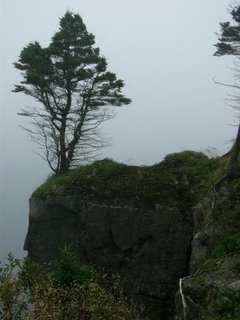
One of the more dramatic sites is the crash site of an RB-36 bomber at Burgoyne's Cove, near Clarenville. In October 1953 the bomber (one of the largest military aircraft ever) was on its way to the US from the Azores. It was navigating by sight, and flying low to avoid radar detection. It was supposed to come in over the coast of Maine as a test of the US air defence network.
Due to weather they were off course, and didn’t realize they were over land. The aircraft hit a 900-foot hill near Burgoyne's Cove, and all 23 on board were killed. Here’s a good story from The Telegram about the crash, and this link (courtesy of The Telegram article) has good descriptions of what happened that night.
To get there, turn off the TCH at Memorial Drive in Clarenville. Keep going through Clarenville, through Shoal Harbour and Milton, until you reach the route 232 exit at George’s Brook. Take route 232 through Barton, Harcourt, Gin Cove, and Clifton to Burgoyne’s Cove. In Burgoyne’s Cove, turn left past the church, up the road with the Newfoundland Slate Company sign. The road is dirt from this point on. Take a right at another Newfoundland Slate Company sign, and keep going until you see a small sign indicating the trail to the crash site, about 5 km from Burgoyne’s Cove. The dirt road can get pretty rough, especially near the end, but my small car made it fine. It’s about a 40 minute hike up the trail, which was pretty wet and slippery in places. But definitely worth it.
Wikipedia article about the B-36 "Peacemaker."


Hi - are you still maintaining this page? I'd like to ask about one of the photographs of the B-36 crash.
ReplyDelete